On Tuesday, the city’s Law and Public Safety committee recommended approval of a signage change on Glenwood South that will allow parking at all hours on Glenwood Avenue from Tucker Street to Hillsborough Street.

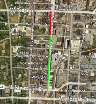
Bing Maps
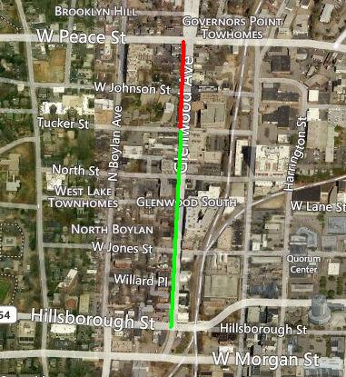
The are highlighted in green would allow all-day parking; the area in red would remain restricted.
The decision, which was by a unanimous 3-0 vote from Councilors Baldwin, Maiorano and Odom, came after discussion about how the parking restrictions were impeding pedestrian safety and causing a loss of revenue to businesses along that portion of Glenwood Avenue.
A representative from the Glenwood South Neighborhood Collaborative, Jim Belt, spoke at the committee meeting. He said that parked cars, which hadn’t been allowed during peak traffic hours, made pedestrians feel safe, as other drivers would slow down so as to not hit the cars, adding to the perception of safety of walkers and bicyclists.
The subject of traffic during the peak hours of 7am-9am and 4pm-6pm caused much discussion among councilors and staff. Jed Niffenegger, a traffic engineer from the city, showed Glenwood Avenue on a map and detailed the levels of traffic each intersection of the street received.
“Predominantly, all the issues are caused by the Peace [St.]-Glenwood [Ave.] intersection,” Niffenegger said.
The city had run a microsimulation of the corridor to better understand the traffic. Near Peace St., traffic flow on Glenwood Avenue converted to a ‘D’ rating, on a scale where ‘A’ was the best and ‘F’ was the worst. When a single lane was taken out, the average wait time at a light changed from 40 seconds to 80 seconds, due to the creation of a bottleneck.

Karen Tam
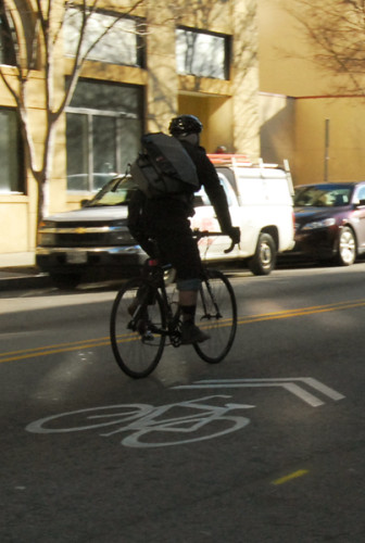
Glenwood South could eventually add bike lanes
Councilor Baldwin noted that she often drove through Glenwood South, but used “underutilized” side streets instead of Glenwood Avenue. She said that she was more interested in finding a way to make Glenwood Avenue safer, which included the possible addition of bike lanes.
“How do we put on less of a traffic engineer’s hat and more of a planner’s hat?” she asked.
The traffic engineer said it was difficult to map out a plan for Glenwood Avenue due to the fixed curbs, narrow sidewalks, and permanent structures that would inhibit the widening of the street.
Belt used his time to “paint a picture of Glenwood South.”
He stated there was a sharp delineation at the intersection of Glenwood Avenue and Peace Street, where historic homes change to become high rises. With over 2,000 residents in a 5-acre area, Glenwood South had a large amount of activity, which includes walkers.
The subject of the often confusing signs themselves also was discussed. Councilor Baldwin said it was tough to read the signs, which had multiple blocks of time on them, and that there were sometimes multiple parking signs on a single place, which created confusion.
With the motion, the area on Glenwood Avenue from Peace Street to Tucker Street would still be restricted during peak traffic hours. Staff was instructed to come back with an evaluation of the effects of the change.

Leo Suarez / dtraleigh.com
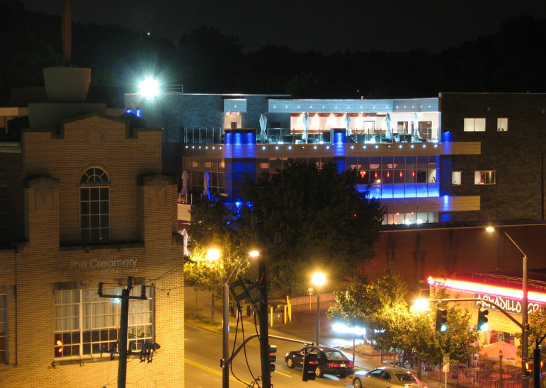
A view of Solas and The Creamery building on Glenwood South in downtown Raleigh.
