Following multiple revisions, local residents gave City of Raleigh stormwater staff a cautious nod Monday night to continue moving forward with a long-planned rehabilitation project for the Laurel Hills Dam.
The latest version of the plan includes street improvements as required by the new zoning code, and stormwater staff is giving the public until Aug. 10 to review the latest version and submit comments.
The Laurel Hills Dam is part of a privately owned lake that has a history of overtopping in heavy storms.
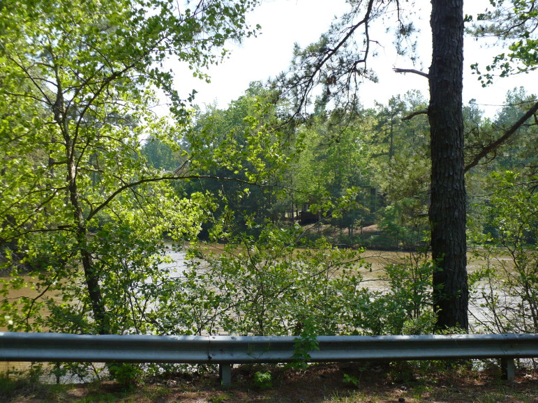
City of Raleigh
Laurel Hills Lake
North Carolina Dam Safety has classified it as a medium, intermediate hazard dam and improvements are intended to ease flooding caused by outdated dam technology. Upgrades should also lessen the need for constant repairs caused by overtopping in big storms.
The project, which along with the streetscape improvements will include rebuilding the dam itself and installing a new spillway, is expected to cost between $1.5 million and $2.5 million, with construction getting underway in the spring of 2016.
A few years and several design revisions after the project began, city stormwater staff were close to getting the plans approved when it was caught in the web of the Unified Development Ordinance.
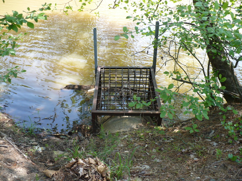
City of Raleigh
Laurel Hills Dam existing inlet spillway structure
“Just when we got this close to getting it approved,” the city’s Veronica High told a group of residents, “they changed the game on us a little bit again.”
The design for the road crossing the dam needed to be brought up to the new standards, as outlined in the UDO, which was approved in 2013.
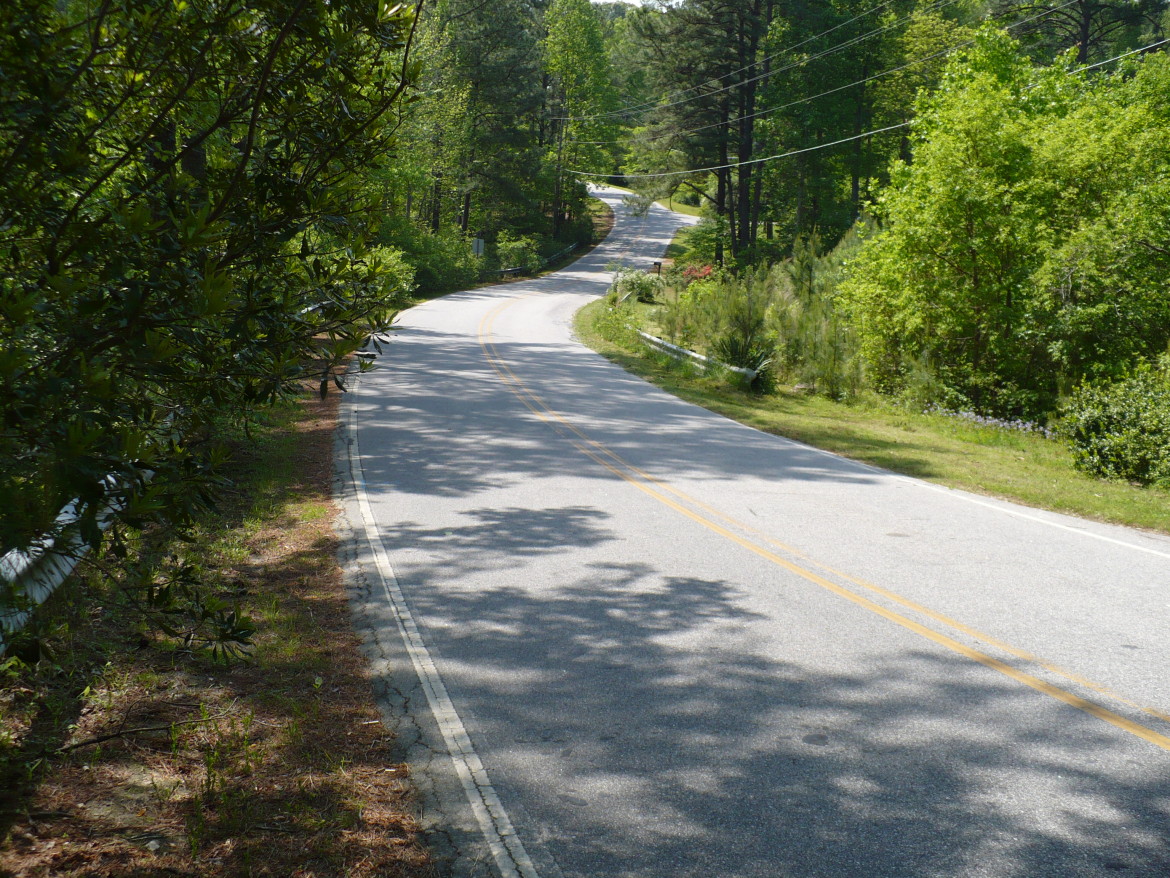
The road will be widened in order to accommodate sidewalks and curb-and-gutters on both sides. Sharrows, or shared-lane markings, have been included instead of dedicated bike lanes. While the space will be left for sidewalks, the question became whether one or both sides would be installed during construction.
Long-term plans for the road include sidewalks and greenway access. Despite its reputation for being dangerous, residents said people regularly walk across the dam, necessitating at least one side be paved.
“It would help our cause for a multimodal path if that was addressed on at least one side of the dam,” said one resident.
Others agreed that they would like sidewalks on both sides, but said at least one side would be appreciated.
The unpaved portion would be maintained by the city as part of regular upkeep of the dam.
With liability issues a concern, residents agreed that if only one side is to be paved, sidewalks should be installed on the downstream side, away from the lake, to discourage curious children from coming too close to the edge.
High said barring any overwhelming demand otherwise, a paved sidewalk on the downstream side would be considered for the final design plans.
Even though the overall design for the dam improvements themselves didn’t change, the city will be required to go through the approval and permitting process again. If things move smoothly, construction is expected to begin in the spring of 2016. The road will be closed and the lake will be drained for at least six to eight months.
A copy of the new design can be found on the city’s website.

City of Raleigh
Laurel Hills Road crossing over the top of Laurel Hills Dam