After years of developing the 2030 Comprehensive Plan and then drafting the Unified Development Ordinance, which codifies the vision from the plan, the city released new zoning maps today for public review.
The new UDO has been serving as a co-zoning code since its implementation in September. The old zoning code remains in effect because of a number of legacy districts, which did not directly translate from one code to the other. These districts, of which most are commercial property, are the ones being remapped by the city.
The draft maps will be available for public comment through the end of the summer. After making necessary changes, staff will turn the review over to the Planning Commission and then finally the City Council.
Property owners and their neighbors are in the process of receiving postcards letting them know how and where they can view the maps and make comments.

Courtesy City of Raleigh
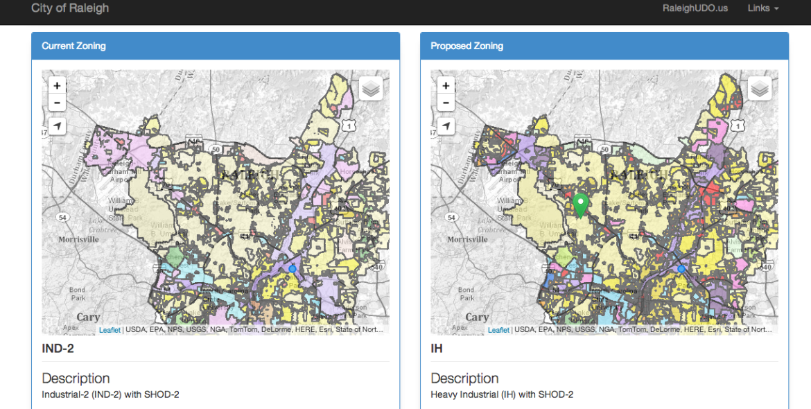
A screenshot of the city's visualization tool to compare the current and proposed rezoning.
The city has set up a pretty nifty visualization tool that allows viewers to see the current and proposed zonings side-by-side along with a written description. Comments can be made on the map itself, through email, phone and snail mail.
For more information, visit the city’s UDO website.