On January 6, city council adopted the new “Capital Area Greenway & Design Guide,” a document that identifies areas for 120 miles of new greenway trails in the City of Oaks.
The guide, which is separated into three chapters, covers topics relating to greenway planning, greenway classifications, and design standards. There are sections devoted to intersections, amenities, and signage. Crime deterrence is also highlighted.

James Borden
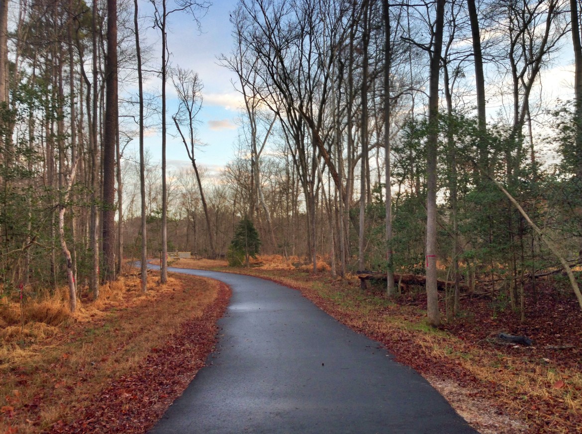
The Neuse River Greenway
Todd Milam, the Greenway Planner in the City’s Parks, Recreation, and Cultural Resources department, said this document isn’t merely an update or revision of the 1989 version the new guide is replacing. It’s an entirely new document that meets the needs of a 21st century greenway trail system.
“The previous document was completed in 1989 when only 25 miles were in the system, so nearly 25 years have passed and many changes have occurred within the greenway system and to the City of Raleigh,” Milam said. “We’re now well over 100 miles with much more interconnectivity within the system and linkages to destinations, like schools, parks, social centers, etc.”
As the number of people using the greenway trails has increased, so to have the number of ways in which people use the greenway trails. While the recreation aspect of the trails has always been a key part of the city’s planning efforts, there is now a significant transportation component to take into account as well. This required the designers to include a trail classification section.
Raleigh Public Record
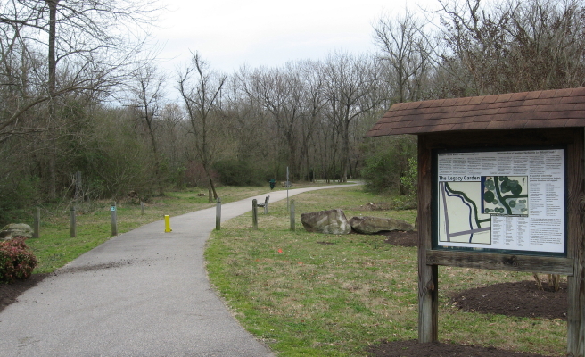
A portion of the Walnut Creek greenway.
“We recognize that trails can vary in function and character, based on alignment, surrounding land use, environmental conditions, connections, and user type and need,” Milam said. “With this document, we have developed a trail classification system, simply, so we can design and build a better trail system and ensure we are meeting the communities’ needs.”
With more people come more user conflicts, so the designers built that into the Capital Area Greenway & Design Guide as well. Milam mentioned the desire of “everyone out there” to enjoy Raleigh’s trails and natural areas, including new and experienced users of greenway trails, bike riders, dog walkers, and more.
The guide mentions specifically the need to accommodate people with disabilities, who may be using wheelchairs while enjoying the greenway trails.
Guiding principles for deterring crime were also accounted for in the guide.
“It’s important for the community to feel safe on Raleigh’s greenway trails; as personal safety, both perceived and real will influence the use of the trails,” Milam said.
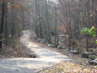
The Longstreet Greenway
Crime deterrence in the document is known by the acronym CPTED — or Crime Prevention Through Environmental Design. It includes minimizing obstructions, maintenance of shrubs and trees, and other amenities like fences. An important concept mentioned in the document is ease of access with good visibility.
“We have police patrols on the greenway trails, via bike, horseback and ATV,” Milam said. “And ultimately, the more trail users we have, the more eyes on the trail area, and the safer the trail experience is. “
While there is no time frame for the creation of the additional 120 miles of proposed greenway trails, Milam said the money to create them will likely come from future bond referendums or capital improvement project funding.
“We really wanted to identify the greenway corridors that, at this time based on demographics, populations, use, connections, destinations, etc. make sense to build,” Milam said.
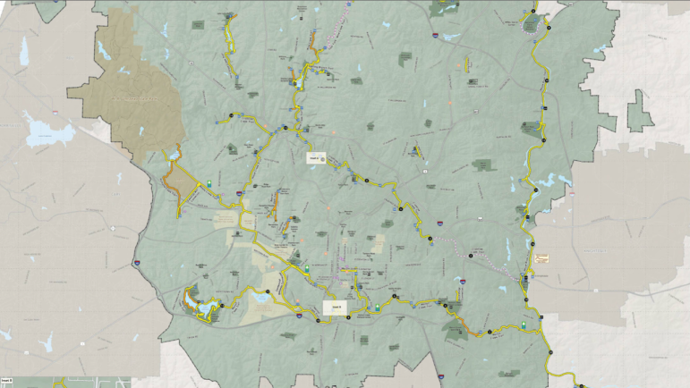
City of Raleigh
The original greenway map. A pdf is available on the city\’s website.